Whats new in version 10.1:
- Compatible with OS X 10.9 Mavericks.
- Auto-Open & Find-by-Location for New South Wales TopoView maps, Western Australia 50K & 25K topos, and the updated US Forest Service topos.
- Imports PDF map files at 250 pixels per inch, including VicMap (Victoria, Australia) 30K Geospacial PDFs.
- Reads GeoPDF, PRJ & EWW files for georeferencing.
- Reads KMZ files from Google Earth.
- Labels Lat-Lon Grid Lines on printed maps.
- Save only selected Waypoints, Routes, and Tracks.
- Use “Open Index Map” to quickly find a desired map.
Publisher review:MacGPS Pro is a great navigation software to seamlessly integrate your Mac and GPS receiver, to make every adventure better. It works with Garmin and Magellan GPS receivers for transferring Waypoints, Routes, Tracklogs, and GPS satellite Almanacs. MacGPS Pro works with almost all brands of GPS receivers for a real-time display of GPS information on a moving map on the Macintosh screen.
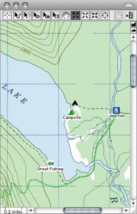
It allows import of maps from a wide variety of sources. These maps can be viewed with no GPS receiver connected, or used in real-time as a moving-map display of your current position and velocity.
It supports most Garmin and Magellan handheld and fixed-mount GPS receivers with displays (except those Magellan receivers which have a USB interface) for upload and download of Waypoints (with their Icons), Proximity Waypoints, Routes, Track Logs, and Satellite Almanacs.
All coordinate transfers produce a map on the screen of the data transferred. All are saved in editable, tab-delimited text files, allowing easy data exchange with spreadsheets, databases, text editors, and other mapping programs.
Operating system:Mac OS X 10.4 or later